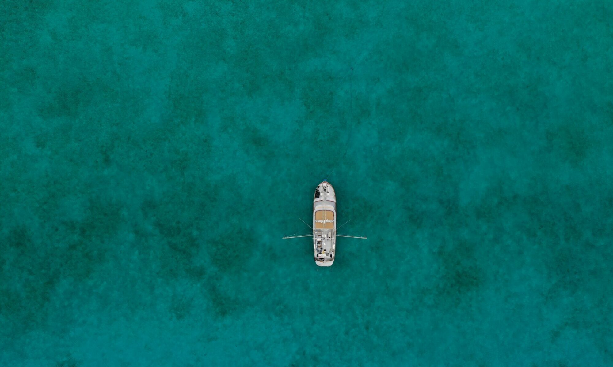
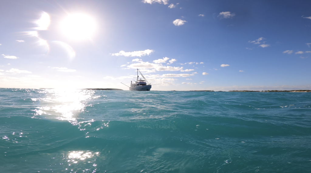
In January we made out way back out to the Exumas and since it had been a while, settled on exploring some of our favorite spots again in the Exuma islands. On the first episode of ‘the Wanderbird Chronicles’, we lost crossed over to Norman’s Cay and immediately lost our starboard stabilizer in a wind storm.
Fortunately I was able to find it and retrieve it and we haded south down to Bitter Guana Cay, a quiet spot just south of the popular Staniel Cay and famous Pig Beach at Big Major. Paul met us there, choosing to avoid the trip crossing over from Florida and then our friends Charlie and Jeff came for a few days.
We cruised out to the Banks and anchored for a day and did some fishing and showed them all area hot spots. It’s nice when visitors are so willing to do everything and anything, from under water spelunking to spear fishing.
When they headed home motored south to Georgetown and spent some time enjoying the more developed island and re-discovered the ‘abandoned’ resort on Crab Cay.
All this and more on episode two of the Wanderbird Chronicles. If you’re a friend of Wanderbird, be sure to subscribe on YouTube for all the updates.
While out in the Bahamas last winter I took to trying to collect a bit more video to put together some stories about our times cruising the islands. It’s such a wild and unique experience. In my work I normally film and pass off the footage to the production and so I’m not burdened with the consuming work of editing. With this project I have to put in the time to tell the whole story. To collect the sound, choose the music, create narration.
It’s a highly self-reflexive process and one that takes me far too long to complete. As it is now July and here we have Episode 1: Lost Stabilizer in Bahamas Wind Storm.
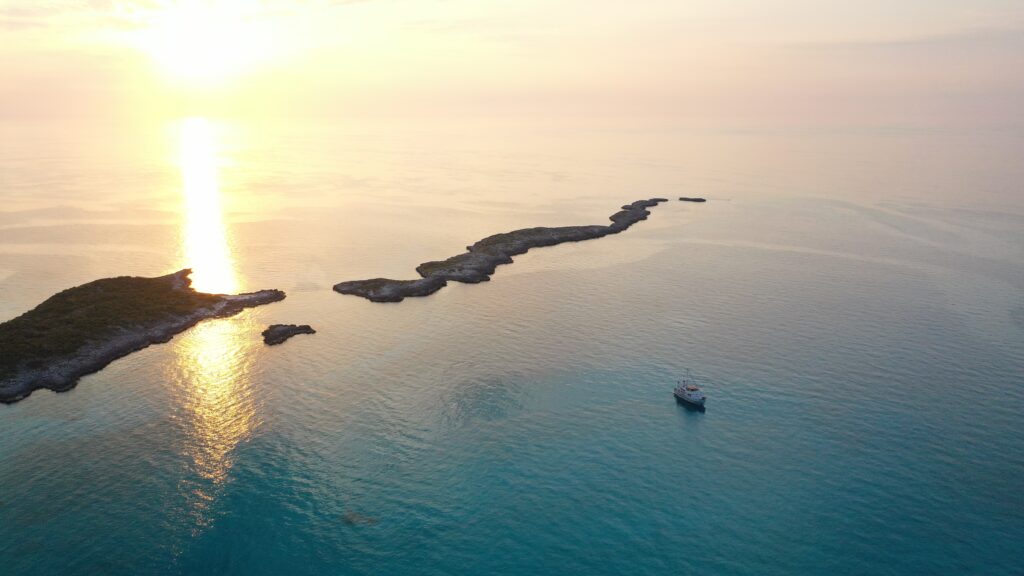
It feels this way, here in the Jumento Cays. Like we’re on the edge of the world. Perhaps just by comparison to the Exumas, where we’ve spent most of our time. Near Staniel Cay there are mega yachts and swimming pigs and an occasional tour boat ripping past, dumping out screaming vacationers for their instagram moments. In Georgetown the string of mast lights could be a distant city skyline and we’ve often had to wait for traffic through the tunnel to reach Exuma Marketplace for provisions. We would revel at the occasional small, green turtle or nurse shark searching for scraps.
default
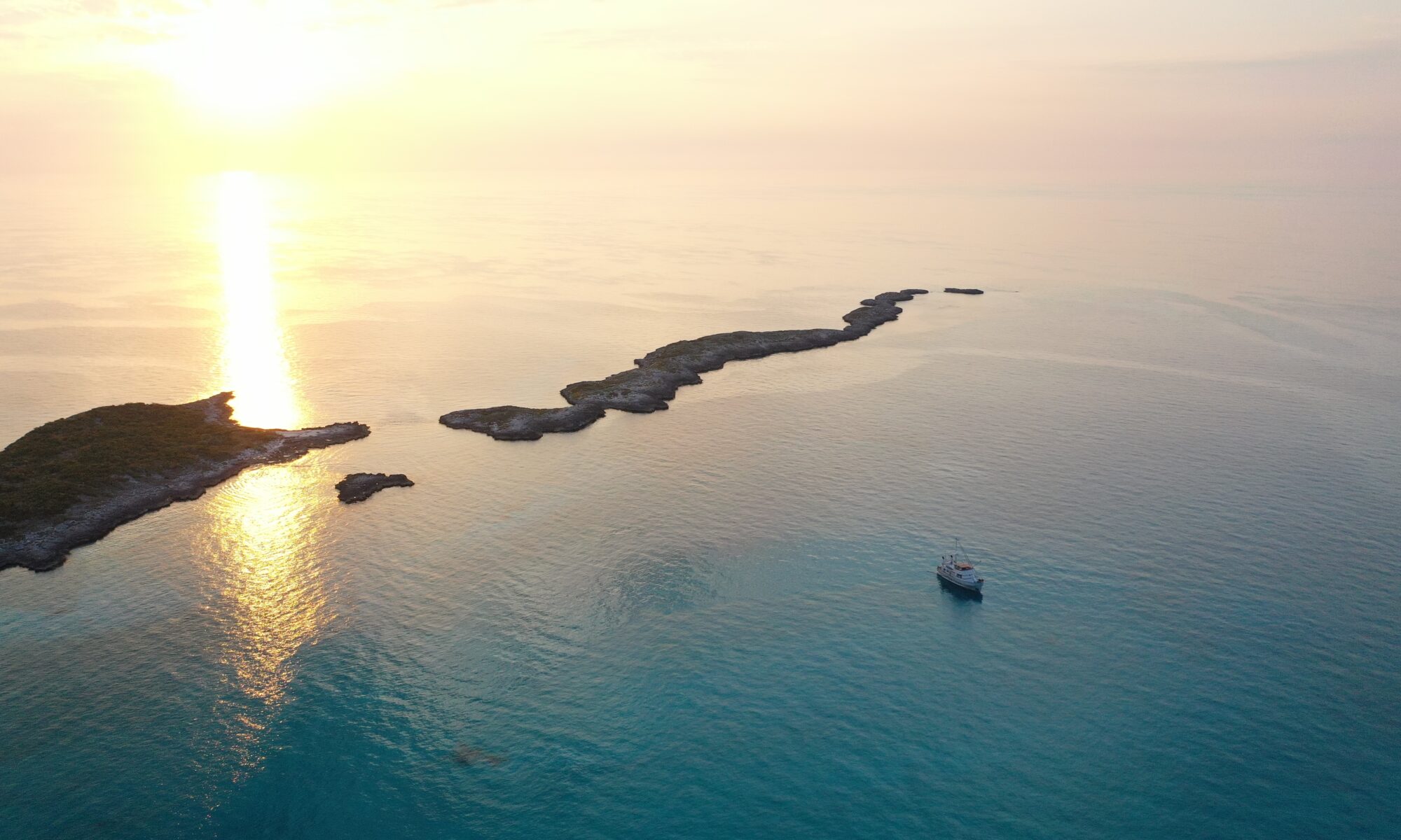
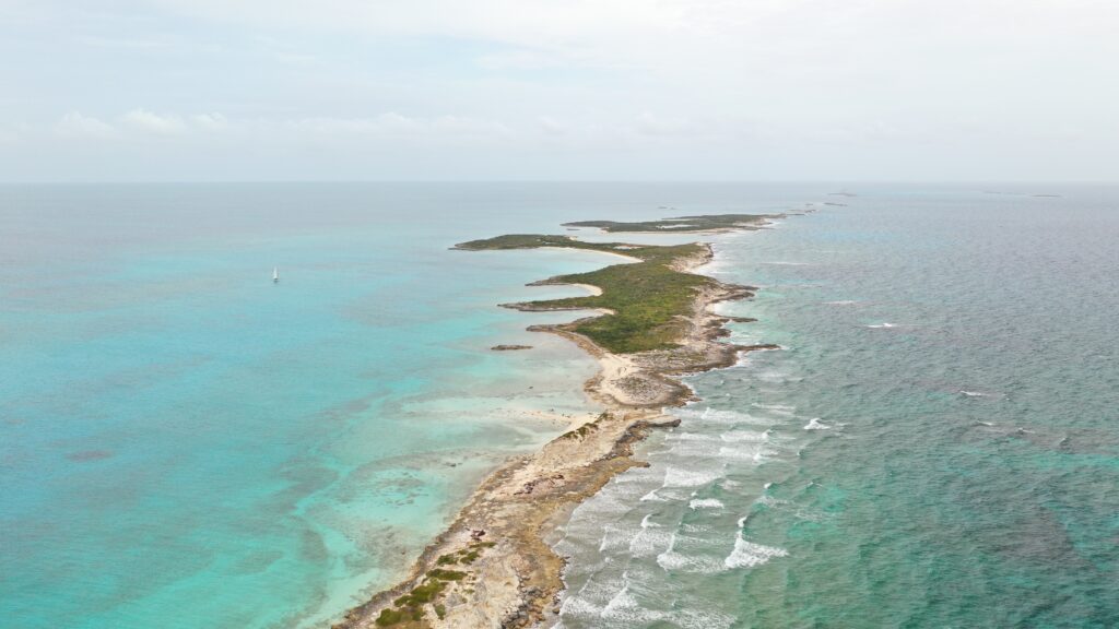
Out here at Flamingo Cay it’s hard to tell the difference between a cay or just a rock. The thin strip that make up the Jumentos runs North East from the Ragged Islands to Long Island. The West side is shallow, from 3 to 30 meters with corals scattered like an asteroid field. The east side drops immediately to hundreds of meters, then thousands. The deep waters and strong tides foster rich fishing grounds. We thought the sighting of a massive loggerhead turtle was a once-in-a-lifetime experience but after several others and some enormous green turtles, we realized it’s the nature of this place.
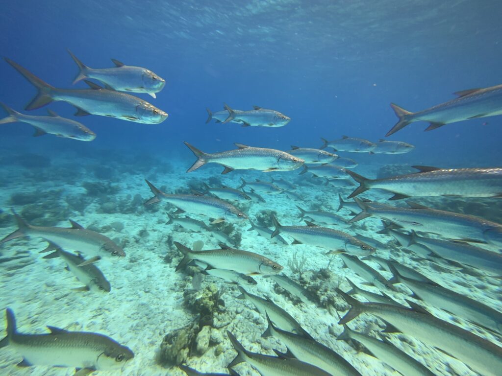
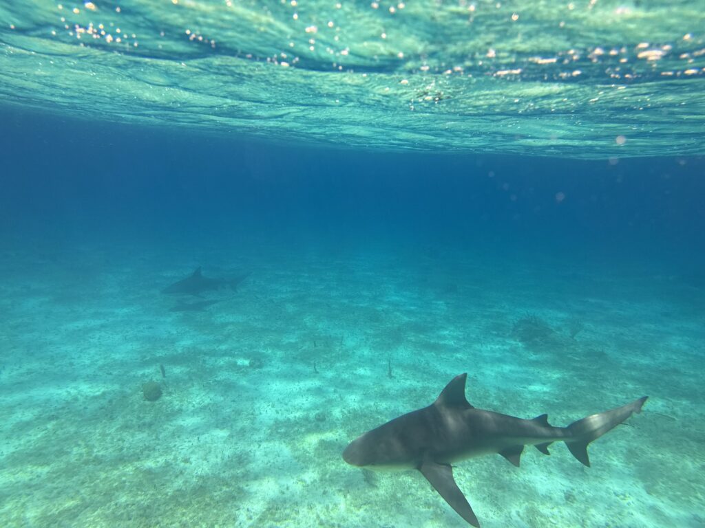
And then there are the sharks. Not the distinctive, flat, bottom dwelling nurse types, but larger, sleek reef sharks and maybe the occasional bull shark, though it’s hard to identify precisely when you’re doing all you can to remain still and calm and ignore the indelible reputation the media has imprinted on these predators. Fortunately it was tracking the school of fish that swam past and ignored me completely.
People rave about the bounty of the Bahamas. I heard a Florida local comment about how it reminds him how Florida ‘used to be’; so rich with fish, lobster and conch, ripe for the taking. The limits for lobster in the Bahamas is no more than 10 tails per person at a time. Several years ago on the White and Yellow banks of the Exumas we would find numerous rocks crawling with lobster. This year, after swimming many coral outcroppings on the same bank, we found a total of two lobsters – one was a female, not with eggs, but we still released it back, hopefully to bear more offspring.
In the Jumentos we did find many more, including a massive female with thousands of eggs (left to her business) and ledges teaming with spiny antenna. The water is deeper and the current stronger and the entire process of snaring these creatures much more challenging. But commercial fisherman have no doubt mastered this and a few small boats passed our purview, no doubt loading up to return the bounty to hungry tourists up north. The fishing grounds have pushed out this way, to the edge of this world. Hopefully the endeavor is more sustainable than the Flamingos which once lived here, but are reportedly ‘good eating’ and all but relinquished to reserves on other islands.
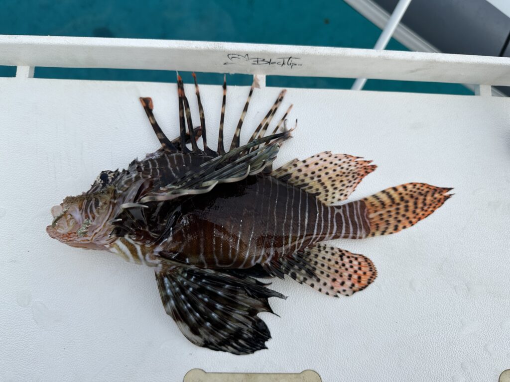
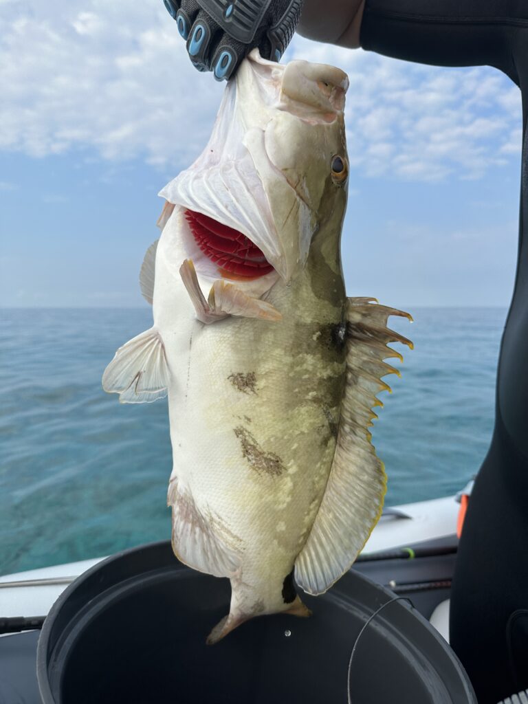
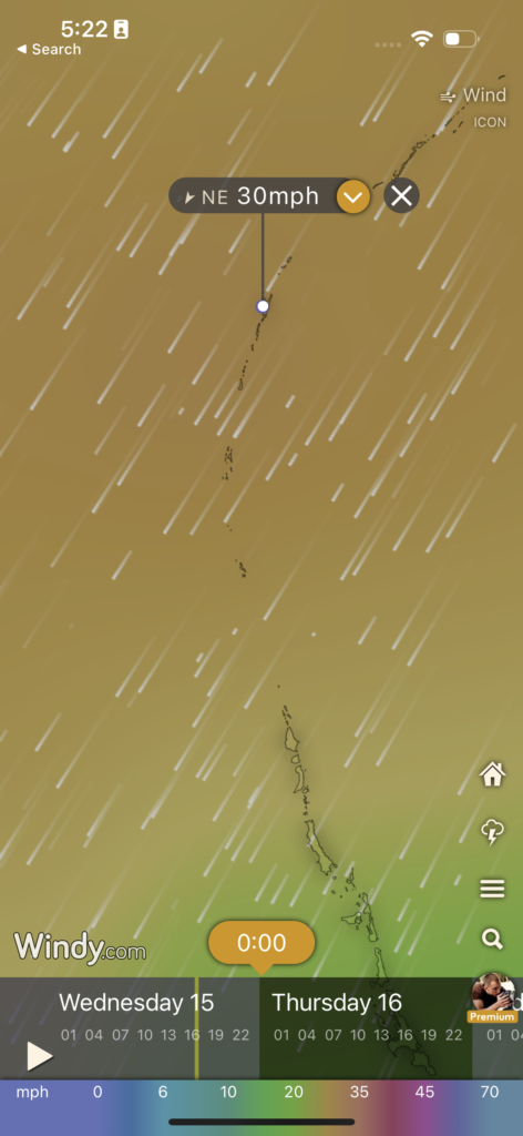
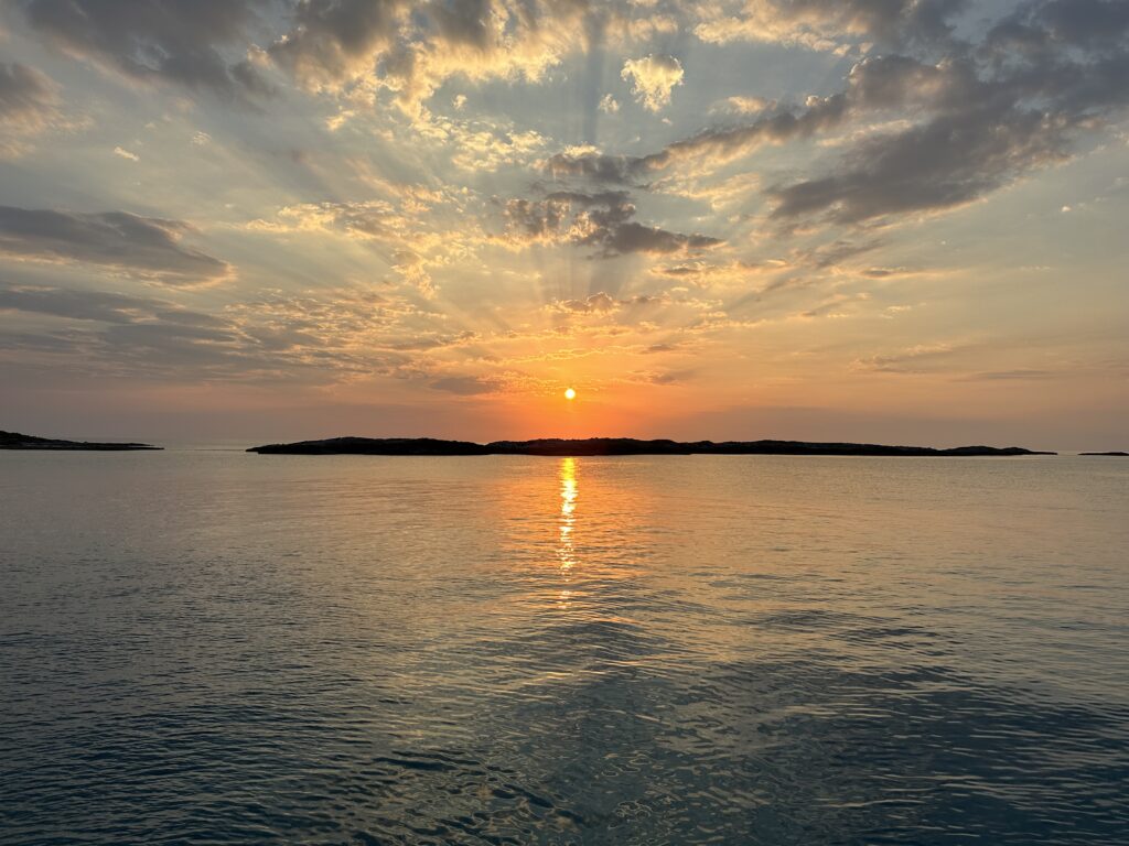
As we fished and explored, we checked the weather often, as we do. Twenty five knot winds from the northeast; definitely not ideal on this thin strip. Flamingo Cay affords some protection as it run northeast itself with a few spurs to the west. The other boats bugged out, some to the north, presumably to Georgetown and others south to Buena Vista Cay. We’d seen far worse conditions and besides, our 350 pound anchors and monstrous chain had held us when Hurricane Michael grazed us in the Chesapeake. So we enjoyed the solace and near perfect, windless days. Grouper, snapper, lobster and sunsets that made us feel like we were on another planet. Massive underwater structures built by the tiniest of creatures fostered daydreams of alien worlds.
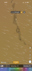
Windy Prediction
No AIS contacts for many miles
A short chat with the last remaining sailboaters in our surveyed bay confirmed our plan. They agreed this spot should be quite comfortable for the coming blow, though they were headed south on their journey. We settled in and I explored a nearby cave and beach. As the winds picked up into the night it appeared predictions were merely that – a best guess, even with advanced weather models.
Around 9pm the anchor alarm signaled that something was off. We checked the distant cliffs with the spot light and they appeared much less distant. The winds were far more North apparent than predicted, which in turn pushed us towards the rocks rather than into deeper water. Luke made the call, we had to move.
Moving the boat in the Bahamas can be a challenge in the best conditions, with coral heads littering the depths like sea mines, giving them their nickname ‘bommies’. When the winds are sustained at 40 knots and gusting higher with wind and rain, the situation could go from bad to worse. A quick mental assessment suggested that staying where we were could be disastrous.
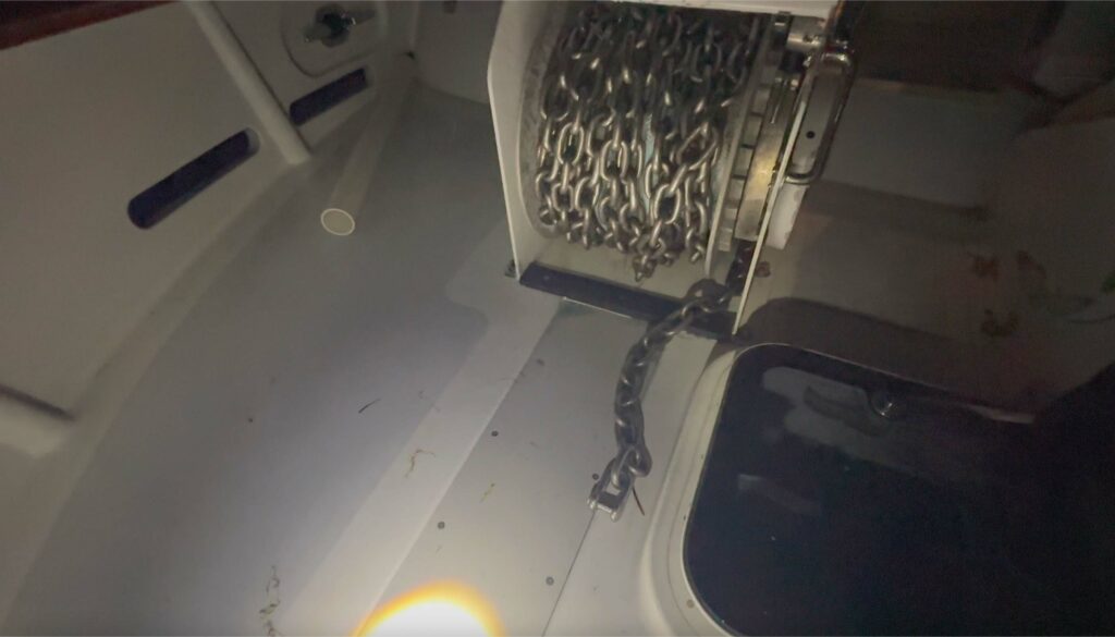
Luke’s background in flight makes him an excellent captain, especially when it matters most. When this tempest hit, there was no support or help for at least 50 miles either direction. “Take a breath”. We both paused and prepared. Luke took the flybridge helm and I prepared to haul up the anchor. He applied power in bursts and started to move us away from shore with each cresting wave. Hauling hard on the anchor, it seemed to come quick and I assumed we were moving up on its position, but instead of the satisfying ‘clunk’ of the anchor resting into the pocket, the end appeared up the hoss pipe, a clean shackle on its end. The anchor was gone.
Something is missing…
I yelled up to Luke and immediately prepared to let loose the port anchor as he repositioned the boat, both of us desperately hoping for enough luck to avoid any of those bommies. Once he was happy with our position he signaled and I released the brake on anchor number two with plenty of scope. We surveyed the area as best we could and settled down for a restless night waiting for the winds to let up.
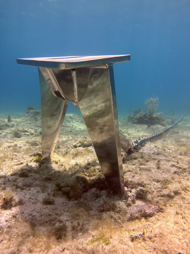
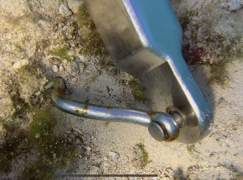
Broken Anchor Shackle on the Sea Floor
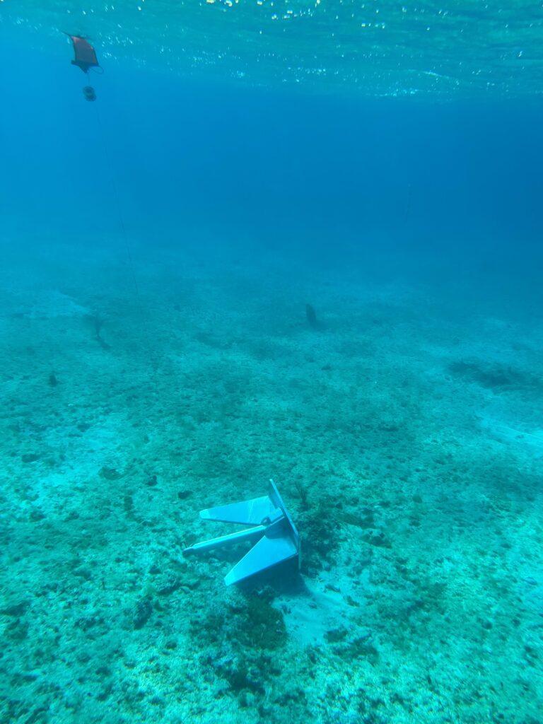
By mid morning I was able to swim the area and could see our anchor had dragged a bit then taken unexpected bite in the unforgiving, sandstone bottom. The chain was hooked around a rock, not ideal, but secure and had held us through the night. We settled for a day and the following I swam the bay looking for fluke tracks in the sand, to follow them back to our starboard anchor. Sure enough it was there, the shackle blown apart. I secured a buoy and we waited another day for wind.
A few boats streamed in from the south, no doubt having ridden the storm in the better protected Buena Vista Cay to the south. We moved closer to the anchor and prepared a rescue operation. For about two hours, several sharks circled the boat, but when I went to attach a heavy line to haul up our anchor, they had gone and only a massive, green sea turtle came by to inspect, swimming casually, not three feet from me.
We hooked a line to the anchor and used the aft winch to haul it and boat along side each other. Luke deployed the davit and minutes later the anchor was on the upper deck, secured for the trip home.
We’re thankful to have alarms and spotlights and dual anchors. It’s hard to imagine how sailors from years ago survived, but I’m reminded many did not, as I notice the wreckage of a sailboat just on shore near where our anchor rested several days. Our Starlink satellite connection continued to remain connected through the ordeal. Imagine, we could have live streamed. Every experience is a lesson learned.
Those of us that live on the water know this term well. We sculpt much of our lives around the weather.
We’re extremely lucky to have the technology we have today. GPS and advanced weather predictions help us make better, safer decisions. After the refit we had our usual pre departure scramble, though amplified by three years of parts and pieces to sort out. Each morning we refresh weather data on TimeZero, scan through different models on Windy and check the wave predictions on BuoyWeather.com. We weren’t planning a major crossing, 24 or so hours total run, across the gulf stream, past Bimini, a quick customs check in Nassau then a final pass over the bank to Staniel Cay.
All of this requires a few things to line up. The winds on the gulf stream should be light and from the south, lest they rake across the current and make for short period waves. The boat can handle quite a bit, but after a refit and not having run in a while, we preferred a comfortable crossing. Timing needs to be just right to make Nassau during custom’s office hours and allowing for a mid-morning, sunny departure to cross the bank; a shallow (12-20 feet deep) sandy stretch between Nassau and the Exumas that is littered with coral heads that can be within a foot or two of the surface and require good, vertical sunlight to see and avoid.
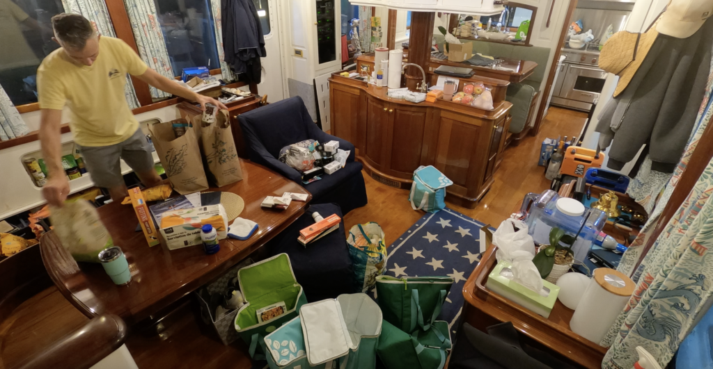
As we ran our errands, collecting parts for a few final projects, offloading various unneeded items to storage and a late night run to provision, we kept checkin the weather and watching lake-like conditions on the Atlantic gulf stream fading, our window shrinking.
Provisioning is a difficult taskSomewhere on the Atlantic between Lauderdale and Bimini
Finally, we finished the preparations, well enough. A number of projects still open, to be finished along the way. We wound our way over the tunnel, down the New River, under the 17th street causeway. Terry, on the Lauderdale water taxi, expressed her joy at seeing us moving again; and offered to come along as a deck hand, not knowing it was no day cruise, but an open-ended departure.
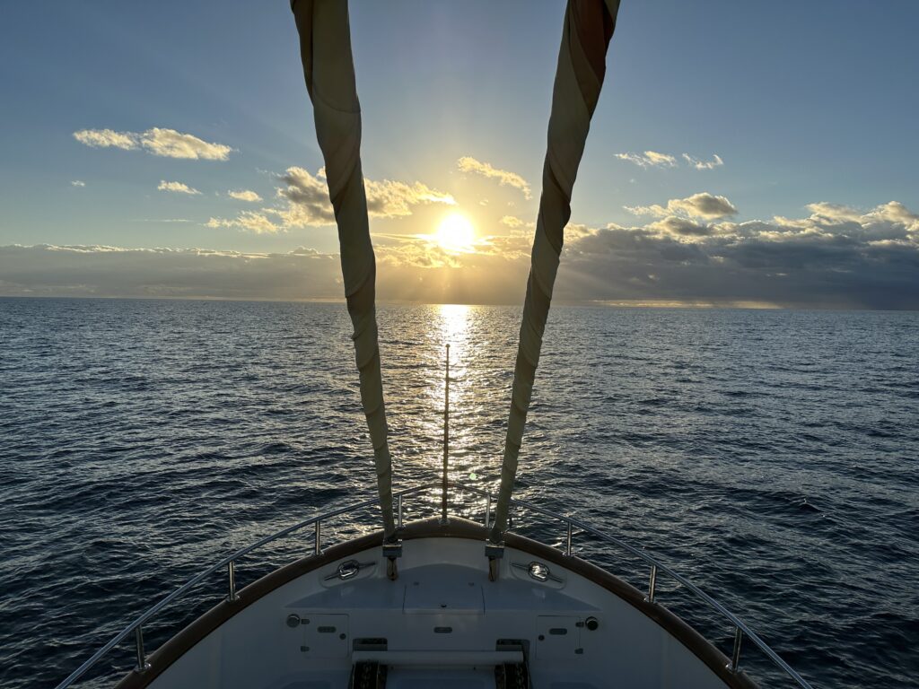
A collective sigh of relief as we passed the port and out to sea, the auto-pilots working ‘well enough’ but still in need of tuning. The sun set behind Miami and Fort Lauderdale, dark encroaching from the east and the stars rose over Bimini as we passed just north of the island in the night. Across the familiar, shallow bank, shoal markers, Bahamas freighters passing in the night, until the towers of Atlantis appeared on the horizon along with the sun.
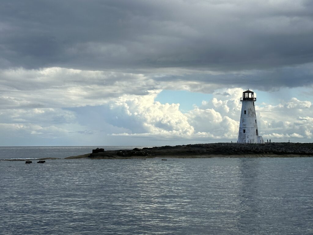
Entrance to Nassau
Sunrise just north of Nassau
We found a temporary slip at the Yacht Haven marina in Nassau. Having completed the cumbersome registration process and payment online, we then had to wait an hour for a customs official to come to the boat simply to collect an additional fee. Another window ahead, was diminishing, but fortunately we departed just as the clouds opened and we could make our way south, across the banks and opted to anchor on the east side of Norm’s Cay, right at the edge of our weather window.
Crossing the bank – beautiful, shallow water is marked with dark coral heads, dangerous to a boat’s hull
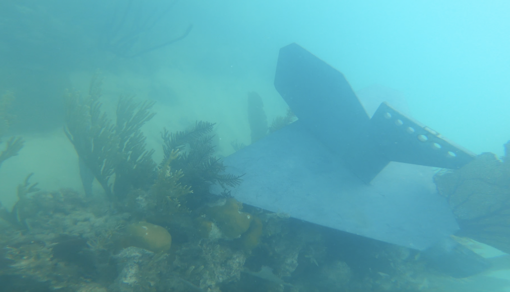
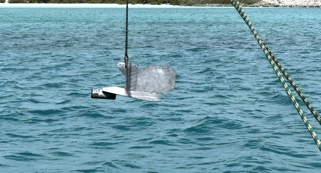
With the anchor set and the outriggers launched, Luke decided to try out using the paravanes as ‘flopper stoppers’ to stabilize the boat form the slight roll caused by the incoming swell. As the winds picked up to about 30 knots overnight, we slept, safe and sound. In the morning however, the line to the port ‘fish’ (paravane) was dangling in the wind.
I was happy to be in the water, albeit mission at-hand, to find the 50 pound, aluminum stabilizer plate somewhere on the seabed. The poor water clarity made the search tough, but after a couple hours I was able to locate and mark the escapee with a buoy, then return with a line to winch it from the seafloor. The plate was resting on a rock covered with coral, which was a bit disheartening as we try to avoid impacting the places we visit and carefully choose our anchorages. Coming in with growing winds, it was hard to see that there were a couple rocks in the area but after removing the paravane, I suspect the shackle pin broke free and the plate glided over to rest where it landed. The plates are designed to work as underwater gliders, balanced to fly through the water like a paper airplane.
We try to avoid impacting coral and sea life; the paravane landed here after breaking free. After pulling it up, I was pleased to see very little damage to the young corals despite having had our intruder resting here during the storm. We call the paravanes ‘fish’ for short and this one took the name too literally.The paravane, back in place, hanging from the outrigger
With the winds, dying it’s on to Staniel Cay to meet Charlie and Jeff, in bound from the cold NorthWest.